
 04/22/24 - 117 New Stories - REAL Environmental & Conservation Leadership In PA: http://tinyurl.com/9bh4zbtr
| Share this: | ||||

|

|

|

|

|
|
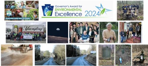
Rain Gauge Network Records Record-Breaking Rainfall in Pittsburgh Region
|
|
While meteorologists reported a record overall 5.96-inch rainfall over a 24-hour period throughout the According to this sophisticated rain gauge system, more than half of the communities across the County were pummeled with at least 5.5 inches of rain while some communities in the western part of the County, such as Moon Township, North Fayette, Findlay, Collier, Bridgeville and Kennedy Township were hit with nearly eight inches from 4 a.m. Friday morning until the rain tapered off at 1 a.m. Saturday. Rainfall data is collected through a network of 33 rain gauges strategically placed based on localized storm patterns and areas that are difficult for the radar to detect, such as hillsides, tall buildings and valleys. The data is then calibrated with the NEXRAD radar coverage area using specialized software. This calibration fills in the gaps between rain gauges and determines the virtual rainfall specific to each square kilometer (.4 square miles) in “The resulting data is so accurate, it’s equivalent to having a total of 2,275 rain gauges throughout the region,” said John Schombert, executive director of 3RWW. As a non-profit organization charged with helping 83 municipalities in “This is extremely important information,” said Schombert, “because an error of as little as 10 percent on rainfall amounts when designing a storm water control basin, for example, could mean wasted money or an ineffective solution.” Rainfall data is availa NewsClip: Highest Rainfall Didn’t Always Add Up to Heaviest Flooding ========FYI ================ |
|
9/24/2004 |
| Go To Preceding Article Go To Next Article |
